Cambodia Plans to Use Satellite Data for Urban Planning and Farming
AKP Phnom Penh, April 24, 2026 --
Cambodia is considering to use satellite technology and earth observation data to tackle the most pressing challenges in agriculture, environmental conservation, and urban planning.
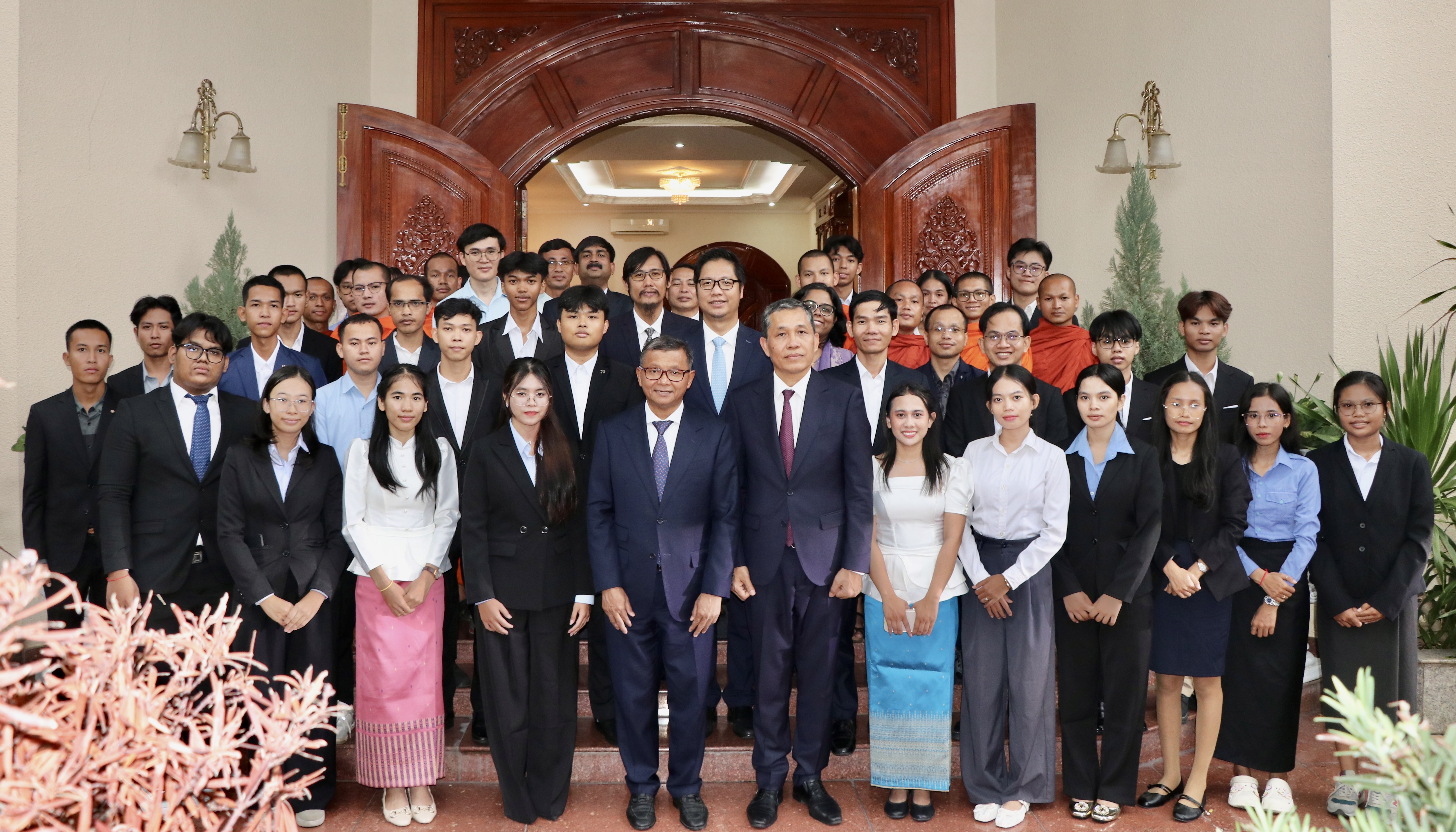
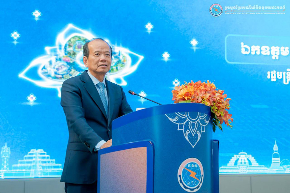
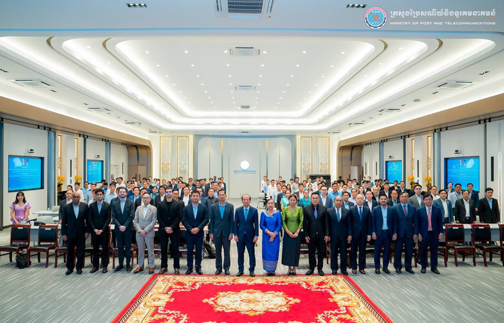
The remarks were made by H.E. Chea Vandeth, Minister of Posts and Telecommunications, while presiding over the closing ceremony of the workshop on "Earth Observation and Data Collection Technique by Using Satellite Technology," held here on April 23.
Speaking on the occasion, H.E. Minister emphasised that the Ministry of Posts and Telecommunications (MPTC) always prioritises human resource training in satellite and aerospace skills by assigning specialised officials to visit satellite technology companies or training institutions and participate in various training courses in the field of satellite and aerospace.
In the future, the Ministry will examine the possibility of providing scholarships for students to study telecommunications, focusing on key subjects related to satellite technology at the Academy of Digital Technology and partner higher education institutions, he added.
H.E. Minister stated that while considering using satellite services from other companies for agriculture, environment, and urban planning, Cambodia must also consider the possibility of launching satellites independently within the next 5 years.
Additionally, H.E. Chea Vandeth mentioned that the Ministry is studying the best practices for establishing a national space management unit to coordinate work related to aerospace.
The workshop was attended by Mr. Awais Ahmed, CEO of Pixxel Space Technologies Inc, MPTC management and officials, representatives of relevant ministries and institutions, professors, and approximately 210 students.
The workshop aims to share experiences from experts of Pixxel Space Technologies Inc. regarding the current state of the space sector in Cambodia, the fundamentals of Earth observation satellite systems and remote sensing satellites, as well as the analysis of imagery from hyperspectral satellites.
By Chea Vannak